Next step towards zero pollution of groundwater (NINFA project)
The pollution of groundwater is a threat for our water availability. Within the EU project NINFA (“Taking action to prevent and mitigate pollution of groundwater bodies”), we study the effects of pollution by nutrients and chemicals on the groundwater quality. We want to help achieve the zero pollution goal. Deltares is work package leader “Risk and sustainability assessments” and partner in other work packages and case studies.

NINFA’s innovative approach - AI model for groundwater - aims to facilitate the transition to a more effective groundwater management decision-making system by increasing knowledge of water flows, in situ mobility, and CEC transformation, and developing predictive models to promote the treatment and reuse of water and its quality. In collaboration with NINFA partners and work packages, Deltares works on two of the 8 case studies in total.
The Achterhoek
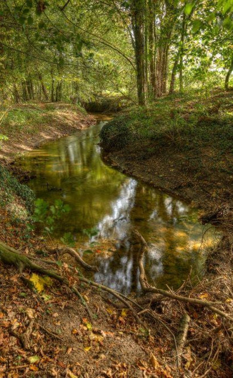
The Achterhoek is a region located in the eastern part of the Netherlands, specifically in the province of Gelderland. It is situated between the IJssel River to the west, the German border to the east, and the Twente region to the north. The Achterhoek area is not densely populated and features large amounts of pastureland and natural landscapes from Roman times. The region has large forests in Montferland and sand flats near Doetinchem.
Regarding groundwater quality droughts have been increasingly common in this area in recent years, and it is projected that they will become more severe and frequent in the future as a result of climate change. The summer of 2018 was an extreme example of drought in the Netherlands, with high temperatures and below-average precipitation causing a significant precipitation deficit.
The effect of drought and drought-relief measures on groundwater quality will be investigated with a focus on nitrates and micropollutants. This will be done through two steps tackled in Work Package (WP) 2:
- Develop a cost-efficient monitoring strategy based on the integration of existing sensors and analytical approaches with innovative tools.
- Assess the existing sources and pathways of groundwater pollution, their synergistic effects with stressors such as droughts and floods or prevention/mitigation measures, by testing and validating hydrogeological and reactive transport models for nutrients, pesticides, and emerging contaminants from wastewater. Furthermore, it is proposed to create management scenarios and propose measures to mitigate the effects of drought on the groundwater system.
Los Alcázares
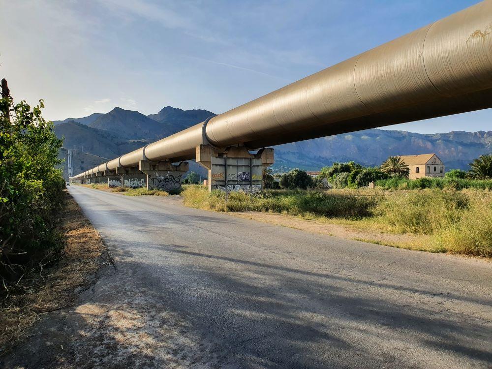
Los Alcázares is a Spanish municipality in the autonomous community of Murcia, in the southeast of Spain (see Figure below). Los Alcazares is located on the coast of Mar Menor, which is Europe’s largest saltwater lagoon with almost 170 km2, and an area of great ecological, geological and scenic importance. Its surrounding areas are particularly rich in landscape values, and it is an area where up to ten approved environmental protection figures converge.
Regarding groundwater quality the Campo de Cartagena groundwater mass was declared at risk of not reaching good quantitative or chemical status by the Segura Hydrographic Confederation in July 2020. The area experiences intense agricultural activity, it is an important supply point to European markets, especially for vegetables during winter.
Water demand for irrigation is met by the Tajo-Segura Water Transfer (1/3 of demand) and groundwater (2/3 of the demand). This has led to an overexploitation of the lower layers of the multi-layer aquifer. While the lower layers of the aquifer do have a problem of overexploitation, the upper aquifer, formed in the Quaternary period, which discharges into the Mar Menor, does not have a problem of water quantity, rather the opposite.
Seawater intrusion, the filtration of irrigation water, which has increased since the construction of the transfer, as well as periodic intense rains, have made the water table so high that water surfaces on to the ground at some points. These upper layers of the aquifer are highly polluted with nitrates, pesticides and nutrients and drains directly to the Mar Menor which often suffers severe eutrophication episodes resulting in reduction in water transparency and several episodes of anoxia.
Three solutions will be tested in this case study:
- Robust, real time and affordable sensors will be developed in the lab will be tested at certain sites for groundwater monitoring and early-detection of pollutants.
- Assess the existing sources and pathways of GW pollution, their synergistic effects with stressors such as droughts and floods or prevention/mitigation measures, by testing and validating hydrogeological and reactive transport models for pollutants of interest.
- Develop a train of treatment technologies including nature-based solutions, to minimize nutrients, pesticides and other pollutants (metals and antibiotics from manure) leaching to groundwaters.


